
Up to ten photos for one finding
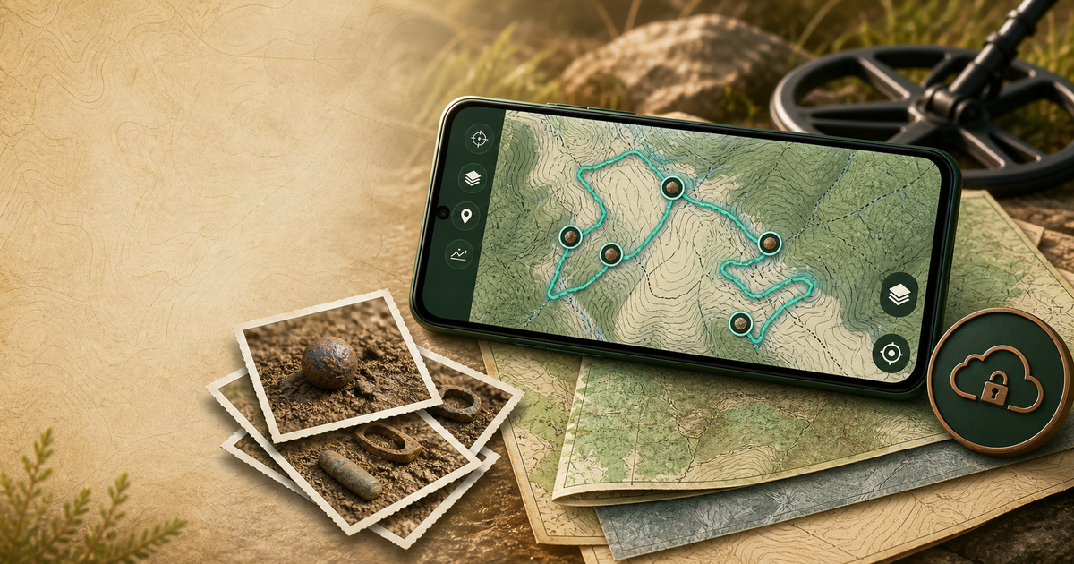
A finding can now contain up to ten photos. After saving an image, the app offers to continue shooting, while the finding page lets you browse the set and add more photos later. You can select a specific image for the Share card and choose several images before publishing to the THS2 feed.
The server preserves the selected order: the first image is the cover and the rest appear in a carousel. Every upload is reprocessed — EXIF and GPS metadata are removed, the long edge is limited to 1600 pixels, and only a new WebP is stored. Large originals are not retained on the server, while exact finding coordinates remain protected by the existing user-selected location privacy mode.
Backups are easier to create and restore
The backup screen is now divided into clear Create and Restore sections. If you are already signed in to THS2, that session is recognized immediately, without opening the account screen and returning. Cloud download and restore operations now display progress.
Cloud backups can keep original photo dimensions or limit the long edge to 4096, 2560, or 1920 pixels. This reduces archive size and cloud usage without changing the photos attached to findings on the device. Before upload, THS2 checks the actual size of the finished encrypted archive against the account's current quota.
Recorded routes are now visible in the trip archive
Completed trip details now include a map of the recorded track. It uses the same online basemap selected for the main screen and keeps the local route visible even when an external provider is unavailable.
Distance calculation has also been corrected. The previous filter could reject some route segments too aggressively and significantly underestimate the result. After updating, completed trips are recalculated from their stored points, so older records should also show a more realistic travelled distance.
An online basemap is no longer a single point of failure
The Layers menu now offers OpenFreeMap, OpenStreetMap Standard, or no online basemap. OpenFreeMap is the recommended default. The selection persists across launches and is shared by the main map, finding details, trip maps, and the Share card.
If the selected external provider is temporarily unavailable, THS2 reports the problem without hiding local PMTiles, findings, tracks, KML, measurements, or map boundaries. Custom online sources and overlays remain independent from the built-in selection.
Data management and smaller but visible fixes
Finding types, including the defaults, can be edited or removed without deleting existing findings. A removed type remains available in catalog filters while records still use it. Trips can be deleted while preserving their findings as standalone records, or removed together with those findings after a separate warning.
Finding cluster counts now pan and zoom together with their marker. The application and API have moved to ths2.app, while the previous address remains available for older builds. Alpha12 can be installed through the in-app update check or downloaded from the THS2 website.